
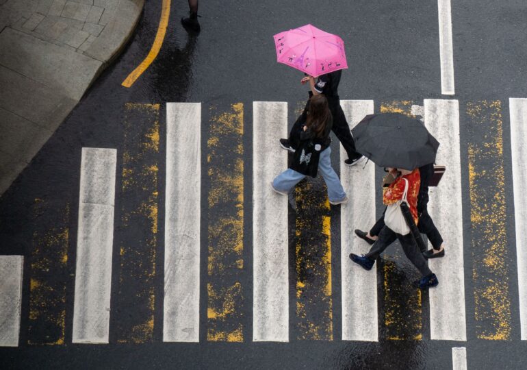
A cyclone formed over the Mediterranean Sea, which has caused heavy rains and flood risks in several countries in southern Europe, is also affecting Romania. Until Wednesday, November 4, significant precipitation, strong winds, and snow in the mountains are expected. Climatologists warn that such phenomena may become increasingly intense, and the upcoming winter could bring episodes of severe cold, even though average temperatures are forecasted to be above normal.
The cyclone has already affected Bulgaria, Greece, and southern Italy, and in Romania, the National Meteorological Administration (ANM) has issued several warnings for rain and wind intensifications.
Climatologist Roxana Bojariu explained on Digi24 that the appearance of Mediterranean cyclones is common in the cold season, but global warming can amplify the precipitation they bring.
Where the heaviest rains are expected
According to ANM warnings, bad weather will continue until Wednesday, November 4, at 8:00 PM.
In Oltenia, Muntenia, and Dobrogea, water amounts of 30–50 liters per square meter are forecasted.
In the mountains, especially in the Southern Carpathians, at altitudes above 1,700 meters, precipitation will be predominantly in the form of snow. The snow layer can generally reach 10–30 centimeters.
On Monday, November 2, until 10:00 AM, an orange code for heavy precipitation is in effect in the western Southern Carpathians and the sub-mountain area of Oltenia, where 50–70 liters of water per square meter may accumulate.
Also on Monday, from 8:00 AM, a yellow code for wind comes into effect for most of Muntenia and Dobrogea. Gusts will reach 50–70 km/h, and the warning is valid until Tuesday, November 3, at 10:00 AM.
During the same interval, the counties of Călărași, Ialomița, and Constanța are under a yellow code for rain, with accumulations of 25–35 l/m² and, locally, over 40 l/m².
Why Mediterranean cyclones are becoming more dangerous
Roxana Bojariu explains that global warming favors the accumulation of a larger quantity of water vapor in the atmosphere. This can feed more intense precipitation when cyclones reach the continent.
“Against the background of global warming, these cyclones are supplied with a larger amount of water vapor from the atmosphere, hence the increased intensity of precipitation in most of the areas they reach,” the climatologist explained.
She emphasizes that the phenomenon itself is not unusual. Mediterranean cyclones appear more frequently in autumn, winter, and early spring. What changes is the intensity of precipitation, which can increase with the warming of the atmosphere.
A warmer winter, but with possible episodes of severe cold
The climatologist also draws attention to the weather evolution in the coming months. Although forecasts from the European Centre for Medium-Range Weather Forecasts indicate average temperatures above usual values in most of Europe, this does not exclude episodes of severe winter.
Roxana Bojariu explained that the El Niño phenomenon could indirectly influence atmospheric circulation in Europe, including through a possible disruption of the polar vortex. “A disturbed polar vortex could propagate its effects down to the lower layers of the atmosphere, and then we could have episodes of severe winter, limited in time,” the climatologist said.
Such episodes are, however, only a possibility, not a firm forecast for Romania. Bojariu recommends following official warnings and explains that short-term forecasts are the ones that can more precisely indicate where and when dangerous phenomena will occur.