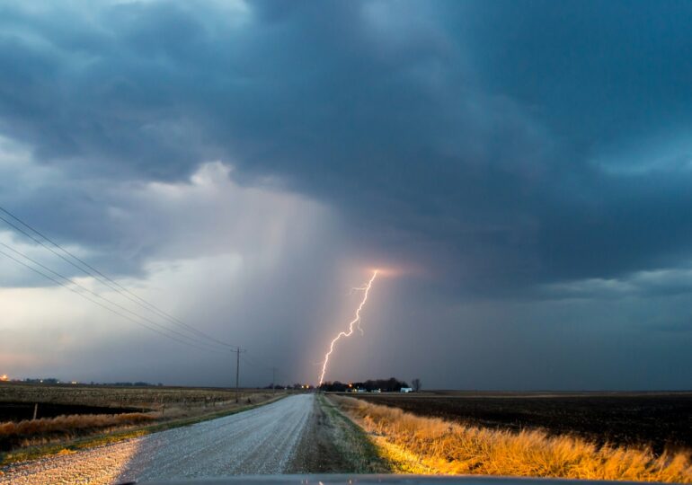
An Icelandic cyclone that reached the Mediterranean Sea brought significant precipitation to the European continent and will also be felt in Romania. A rainy weekend is ahead, with a sharp drop in temperature. Specialists say that this autumn, several very strong storms could hit our country.
An Icelandic cyclone that entered the Mediterranean Sea area brought abundant precipitation to several countries in Europe and to Romania, triggering other weather phenomena that also affect our country.
"The region of Iceland is prone to generating atmospheric cyclones. Meaning areas of low atmospheric pressure. This has happened in recent days from Iceland, from the formation area, the field of low pressure has extended to the Mediterranean Sea. And in the Mediterranean Sea, small cyclones have been born that are affecting our country during this period," explained meteorologist Florinela Georgescu, for Adevărul.
This phenomenon, encountered for a very long time, brings rain and low temperatures, but also an intensification of wind speed.
Temperatures will drop sharply
The effects will also be felt this weekend, when the Icelandic cyclone will move from the Mediterranean towards the central-eastern part of Europe, bringing heavy rains to Austria, the Czech Republic, and some regions in Slovakia, Poland, Hungary, and Germany.
Initially, Romania will be located in the warm sector of this cyclone, which will bring showers and storms to our country. Starting from Saturday, September 14, the low-pressure area will move eastward, so the cold air will penetrate here, especially in the west and southwest, informs meteo&radar.
Temperatures will drop sharply in the west, north, and center, even by 10-15 degrees Celsius in just 24 hours. From Saturday to Monday, the weather will be cold in Transylvania, Maramureș, Banat, and Crișana, where maximum temperatures will range between 10 and 16 degrees Celsius.
In high mountain areas, in massifs such as Retezat, Godeanu, or Parâng, the rains will temporarily turn into sleet and snow, at altitudes above 2,000 meters.
The weather will significantly cool down in the south and east of the country, but it will be warmer here, with temperatures ranging from 18-22 degrees. Similar temperatures are expected until the end of next week, when a new wave of rain is possible, according to the cited source.
Climatologist: We will have to get used to these phenomena
The storm that wreaked havoc on the coast at the end of August and the Icelandic cyclone heading towards Romania demonstrate that our country is no longer spared from extreme weather events. Due to climate change, Romania could face very strong storms this autumn, warn specialists.
"Speaking of autumn, climatically speaking, it is a transitional season, much like spring, so variability is much greater, in the sense that very hot periods can alternate quite rapidly with very cold periods. In fact, the atmospheric circulation is rearranging from the warm season to the cold season, and then such types of circulation can coexist for both the warm season and the cold season. It is a good thing that we have precipitation now. Probably, we will have more this autumn.
Very intense storms are not excluded, unfortunately, against the backdrop of global warming, which fuels all weather systems with an increased amount of heat and water vapor, energy, in general," stated Roxana Bojariu, climatologist, on Antena3.
We will have to get used to such severe weather events and adapt, says the climatologist.
"Unfortunately, all weather episodes are fueled with more energy, regardless of the season, regardless of the place in the world where they occur. We practically have events everywhere in the world, and we will have to get used to it, we will have to adapt, and, on the other hand, we will have to seriously reduce emissions to slow down this hellish race of increasing the global average temperature, which leads to exactly these changes in the statistics of extreme phenomena."

